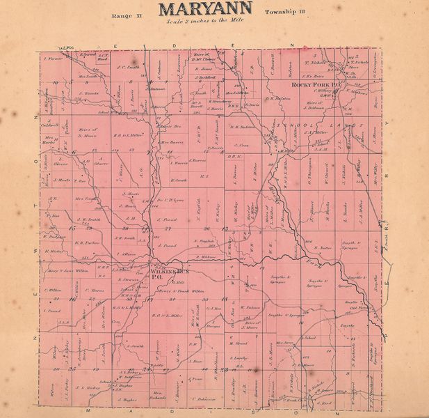
File:Mary ann township 1866 atlas.jpg
From Licking County Library's Wiki!
Revision as of 13:45, 22 March 2022 by LCL (Talk | contribs) (Map of Maryann Township from the 1866 Atlas of Licking County.)

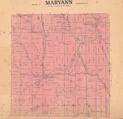
Size of this preview: 617 × 600 pixels. Other resolution: 247 × 240 pixels.
Original file (4,598 × 4,470 pixels, file size: 4.17 MB, MIME type: image/jpeg)
Map of Maryann Township from the 1866 Atlas of Licking County.
File history
Click on a date/time to view the file as it appeared at that time.
| Date/Time | Thumbnail | Dimensions | User | Comment | |
|---|---|---|---|---|---|
| current | 13:45, 22 March 2022 | | 4,598 × 4,470 (4.17 MB) | LCL (Talk | contribs) | Map of Maryann Township from the 1866 Atlas of Licking County. |
- You cannot overwrite this file.
File usage
The following page links to this file: