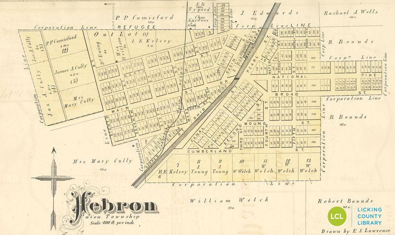
File:Herbon map 1875 atlas canal and road logo.jpg
From Licking County Library's Wiki!
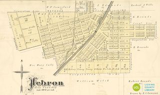
Size of this preview: 800 × 477 pixels. Other resolution: 320 × 191 pixels.
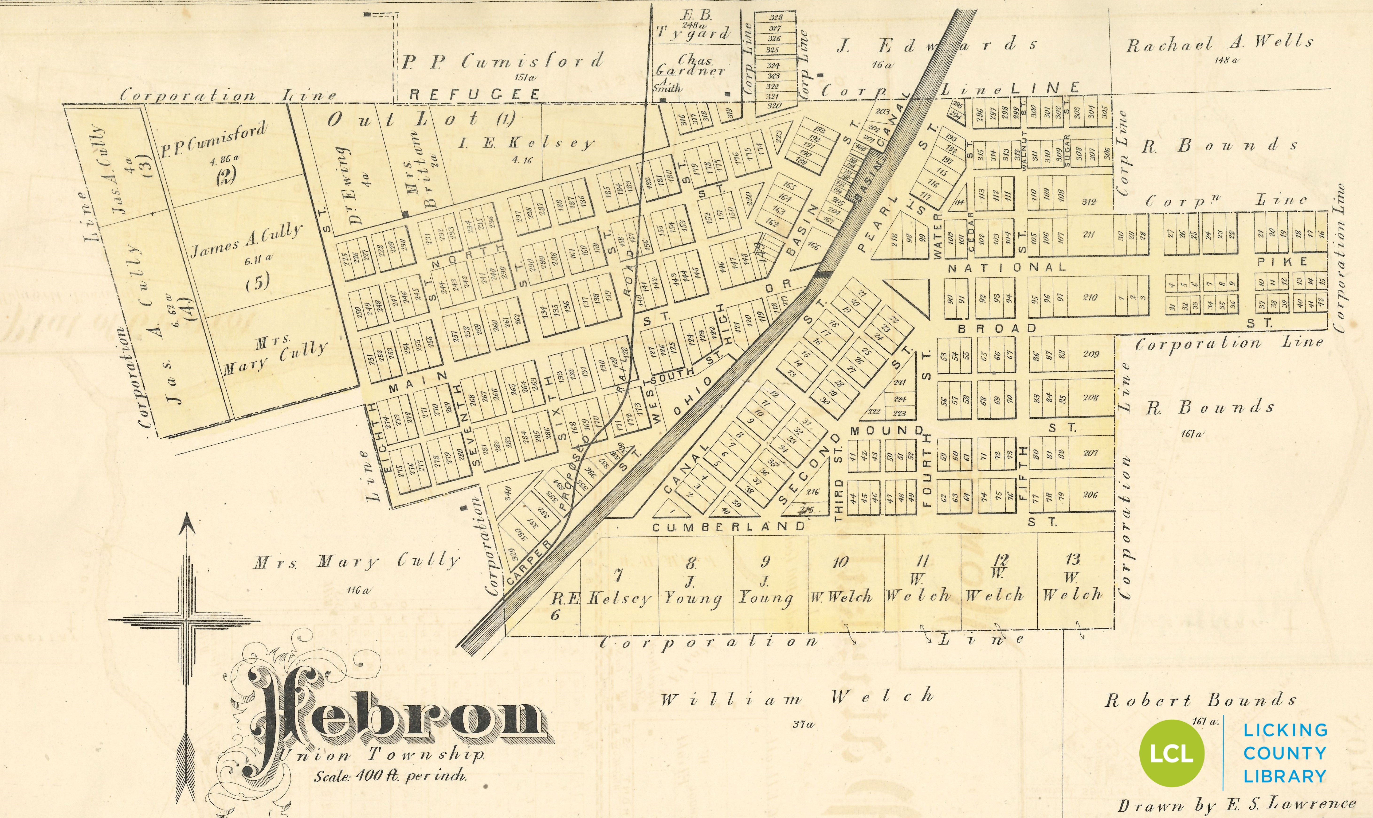
Original file (5,842 × 3,482 pixels, file size: 3.42 MB, MIME type: image/jpeg)
Map of Hebron, OH from 1875 Atlas of Licking County
File history
Click on a date/time to view the file as it appeared at that time.
| Date/Time | Thumbnail | Dimensions | User | Comment | |
|---|---|---|---|---|---|
| current | 08:43, 20 August 2020 | 5,842 × 3,482 (3.42 MB) | LCL (Talk | contribs) | Reverted to version as of 15:41, 20 August 2020 | |
| 08:43, 20 August 2020 | 5,842 × 3,482 (3.42 MB) | LCL (Talk | contribs) | |||
| 08:41, 20 August 2020 | 5,842 × 3,482 (3.42 MB) | LCL (Talk | contribs) | Map of Hebron, OH from 1875 Atlas of Licking County |
- You cannot overwrite this file.
File usage
The following 2 pages link to this file: